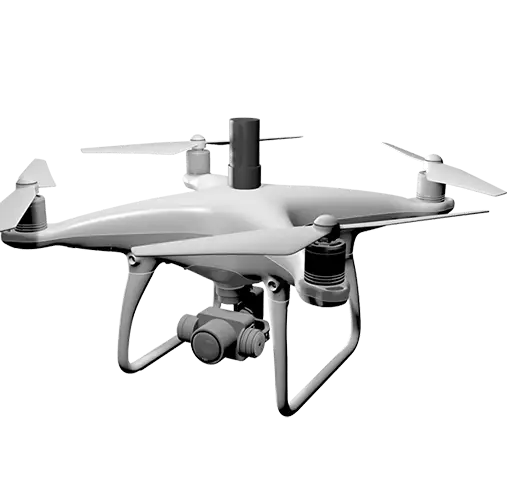
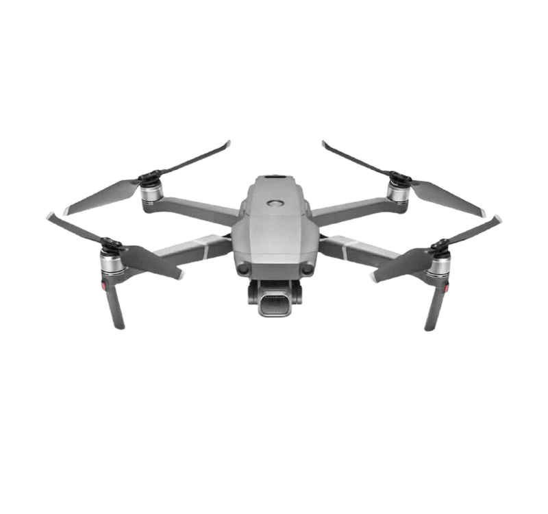
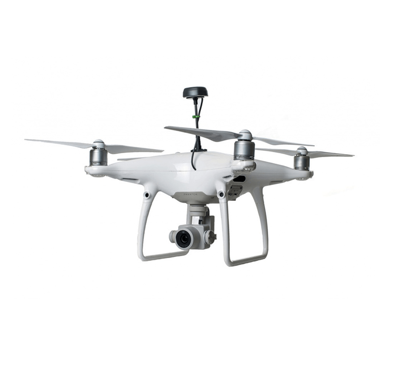
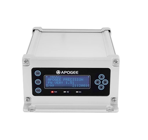
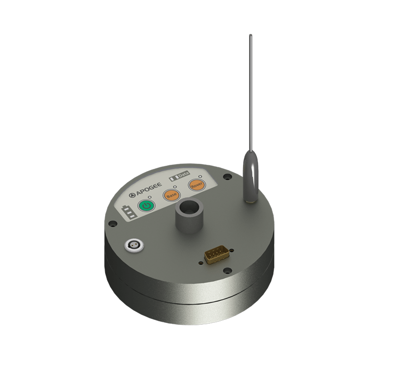
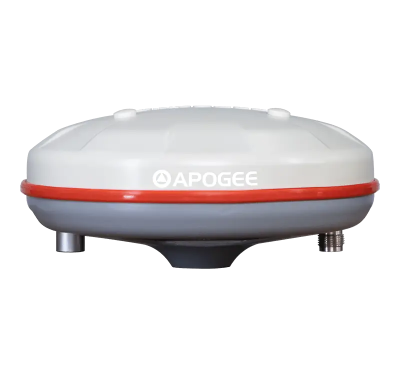
EAGLE

UAV (Unmanned Aerial Vehicle) 

Eagle UAV RTK (Real Time Kinematic) and PPK (Post Processing Kinematics) solutions give you highly precise correction data in mapping and surveying, agriculture, etc. By dint of the advanced GNSS technologies, the UAV has become the most wanted vehicle in today’s industries. Apogee offers you various kinds of GNSS solutions for UAV systems for surveying and mapping, agriculture fields.

PPK RTK drone solution Apogee GNSS
Eagle Uav RTK Solution Apogee GNSS (AGPL)

Highly Accurate

Such type of drone RTK solution gives highly accurate solutions through RTK and PPK methods. RTK provides real-time correction data and is primarily used in field surveying. We need a continuous connection for the RTK method. PPK provides correction data after processing it post-survey. This method is used when there are no good signals between the base and the rover such as hazardous parts of forests, powerlines, etc.

Applications

Construction & Infrastructure, Surveying & Mapping, Mining, Agriculture, Science & Research, Environmental Monitoring,  etc.

drone rtk solution APOGEE GNSS AGPL

Specifications

Our Models

Related Products


Have a question?

Ask our team

Fill the form given below or write us at sales@apogeegnss.com. We will reply to your query within 24 to 48 hours. However, most of the time, we reply early than the given time.


How to buy